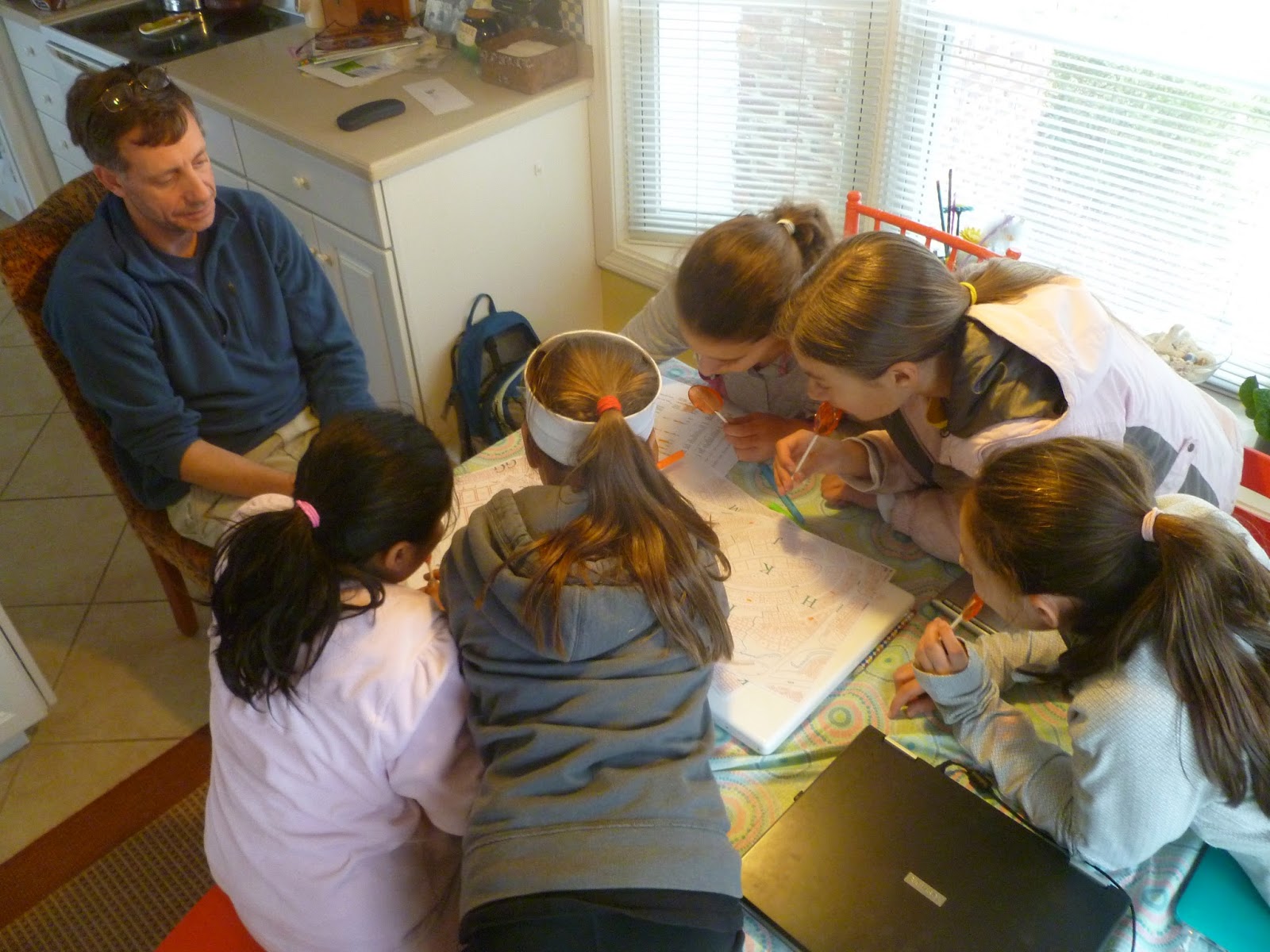
Today we made lollipops, practiced using Arc GIS, highlighted where the soldiers were buried in the cemetery on maps, and went on a fun walk! To get familiar with using the new software, we made our own map that showed where some of us lived, and we added pictures on the map too. You can view this map by clicking the link on to the right on the blog. Once you click on the link, their will be points marked that show where each of us live, you can click on the point to get more information and the picture.
 |
| Our walk was lots of fun!! |
 |
| Highlighting the solders on the map |
 |
| Working on the map (Sophie was here with us today too!) |


No comments:
Post a Comment